Essential Outdoor Navigation Apps
Top 3 outdoor navigation apps for 2024
Home » Outdoor Navigation Apps: Our Top 3 Picks for 2024
Table of Contents
Top 3 outdoor navigation apps for 2024
Home » Outdoor Navigation Apps: Our Top 3 Picks for 2024
Disclaimer: We’ve added some links in this post which are affiliate links. This means if you choose to purchase something after clicking on them, we may earn a small commission. Your support through these links means a lot to us, and helps us to maintain this website and continue creating helpful content just like this!
Imagine getting all your gear together, being all hyped up for the adventure, and then suddenly finding yourself lost on the trail. Just the thought of this can be terrifying, and especially if you’re in a country where you’re not entirely familiar with the language.
Thankfully, technology has gifted us with a wide range of mobile applications designed to help us plan out and guide our adventures. But with so many options available, choosing the right outdoor navigation app can feel overwhelming.
Worry not, though! In this guide we will show you the 3 apps that we use to plan out our adventures and the features we enjoy in each one. By the end, you’ll be equipped with the knowledge to select the perfect app companion for your outdoor escapades, focusing particularly on the options excelling in Spain and the rest of Europe.
You’re now probably thinking to yourself, “Okay, get to the point. Out of these three options, which one should I get? I don’t want to clutter my devices with a bunch of apps.“
Spoiler: There is no “best” or “perfect” app. At least not yet that we’re aware of.
The ideal app, however, will hinge on your own specific needs and preferences. Some apps will make a certain tasks easier while others may have focus elsewhere. It really just boils down to how much work and custom planning you would like to do beforehand.
Below, you can find a breakdown of some key factors we considered when choosing our top 3 apps:
App Name | Pros | Cons |
Wikiloc | King of user-generated trails Allows links to other websites (blogs, registration forms, etc.) Detailed track information | Less intuitive interface Limited navigation features in the free version Creating and modifying maps is not user-friendly |
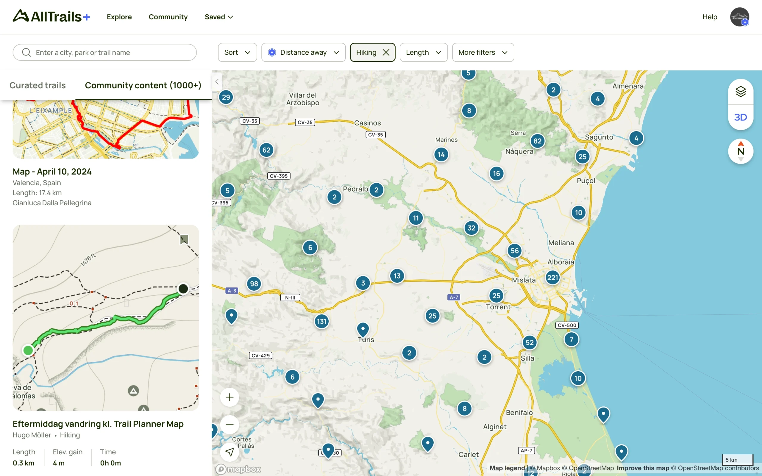
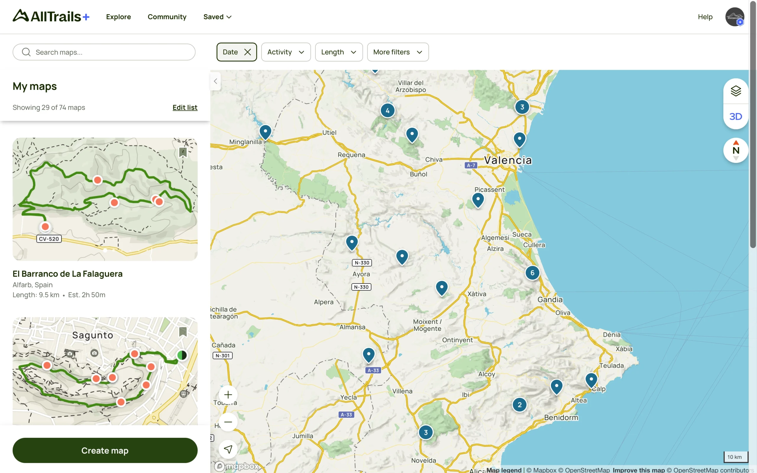
AllTrails | Extensive curated trails with reviews & photos Beautifully designed user interface Useful premium features such as 3D preview and map overlays | Limited features for user-generated content Does not allow links to external websites for added info 3D Preview only works for curated trails |
Gaia GPS | Top-notch quality with many useful map styles and overlays Advanced features for experienced users Basic map creation and generate print-ready PDFs | Steeper learning curve Limited free features Less user-generated content |
Keep in mind that the developers of these apps are constantly making updates and improvements to their functionality, so check out the free versions first and see if it’s enough for what you need. Also, you may find free premium trials or discounted rates for the premium versions at times, so keep an eye out for that.
Now, let’s delve a bit deeper into each of these three popular choices:
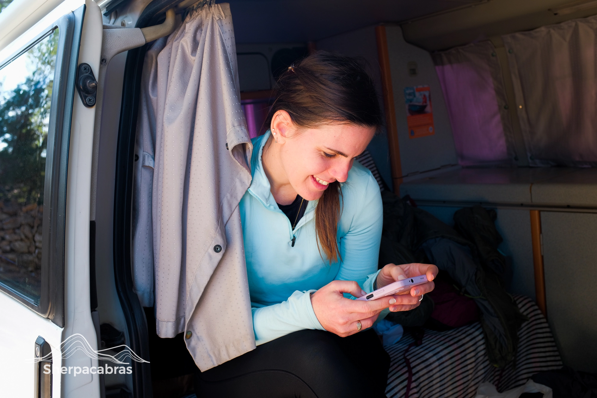
Wikiloc is the #1 app for finding new trails and routes created by other trail-goers. This is true in most places but especially if you’re trying to find trails in Spain and Spanish-speaking countries.
As previously mentioned, the app’s greatest strength is the sheer amount of user-generated trails, most of which you can access in the free version. This can be a real time-saver, especially when looking for unique or difficult-access trails such as canyoning and alpinism routes.
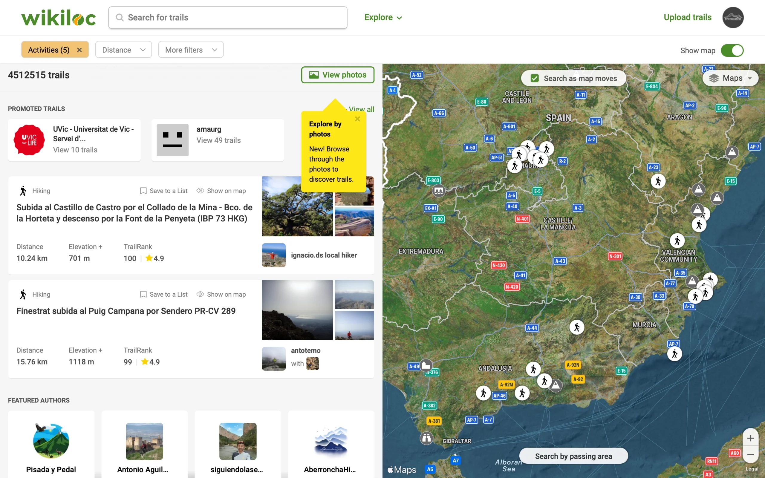
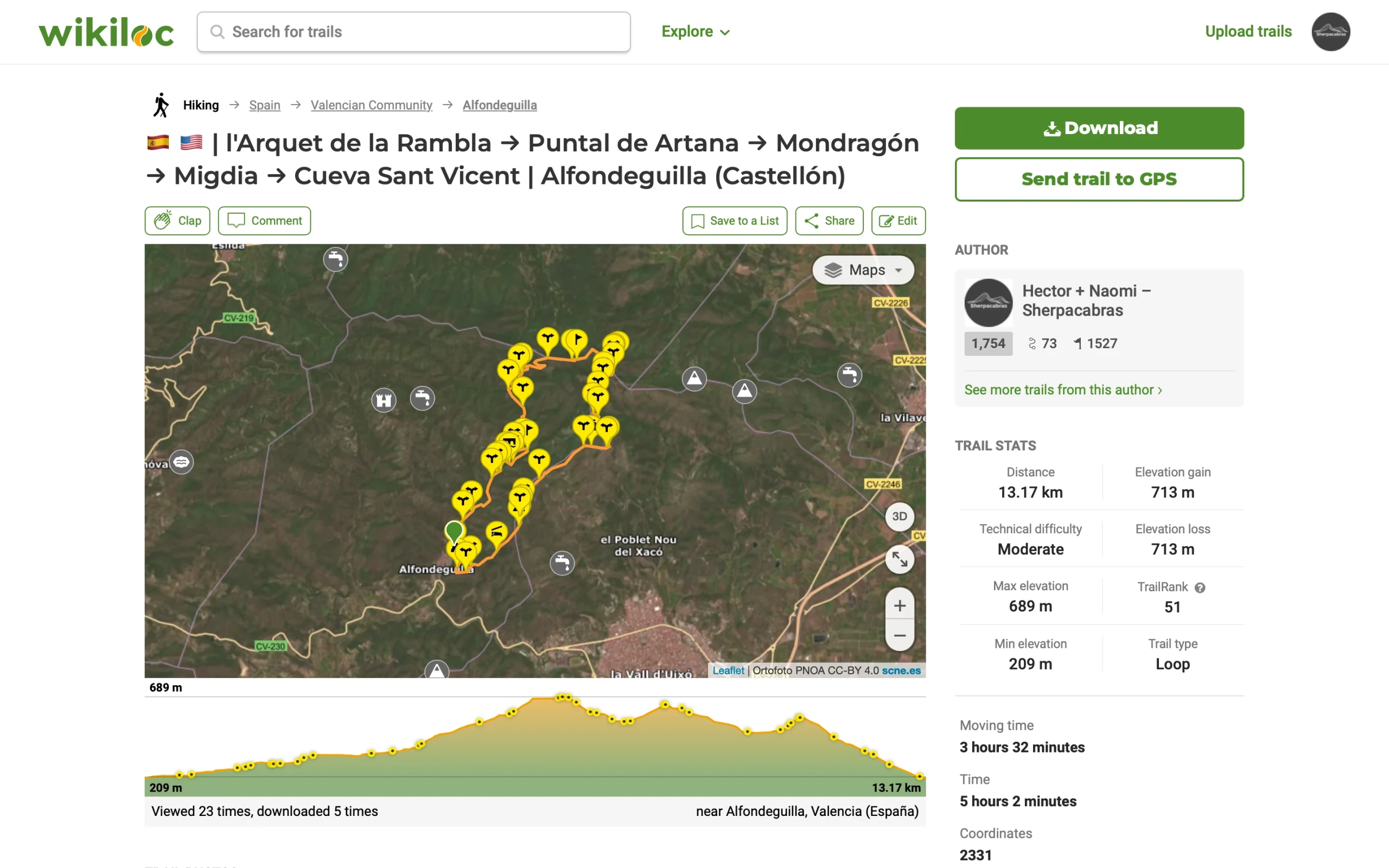

For track navigation, Wikiloc works great and has a lot of neat features. The home screen widget on both iOS and Android is very intuitive and provides plenty of information in an easy to read manner.
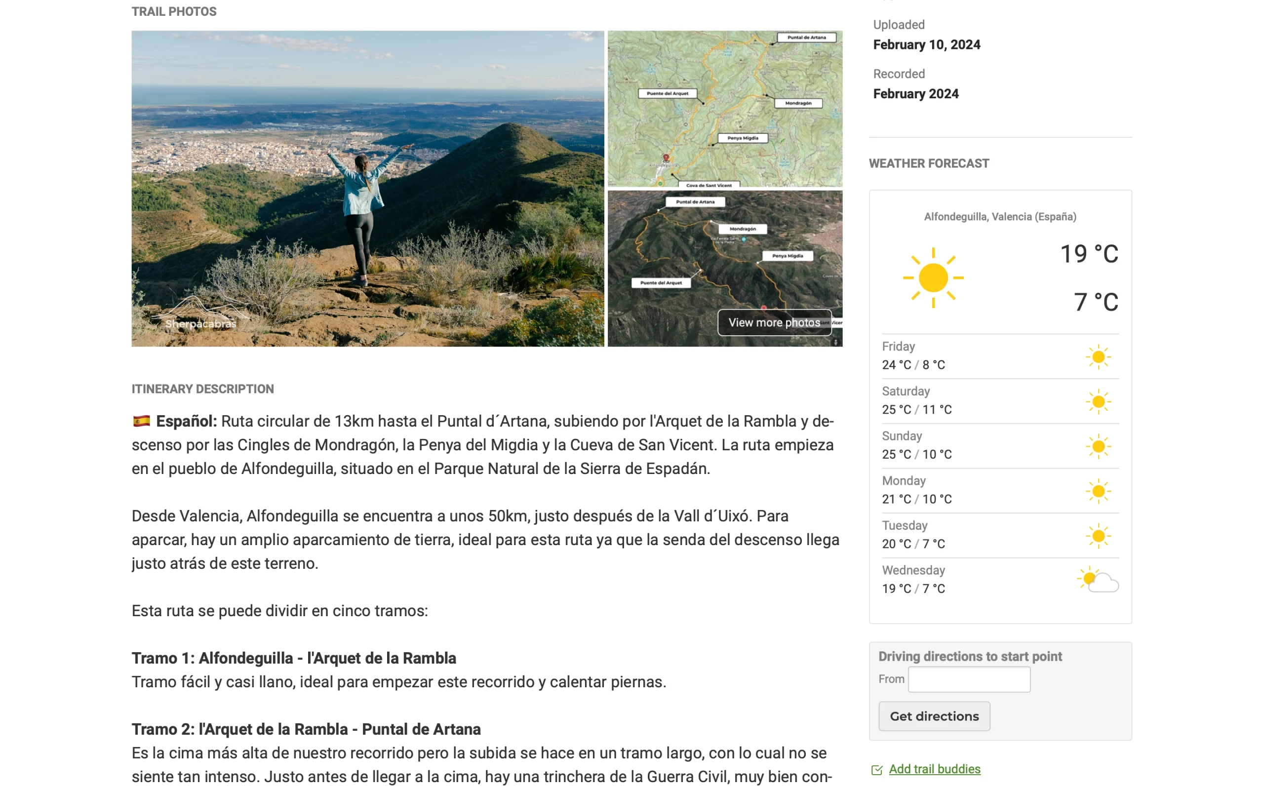
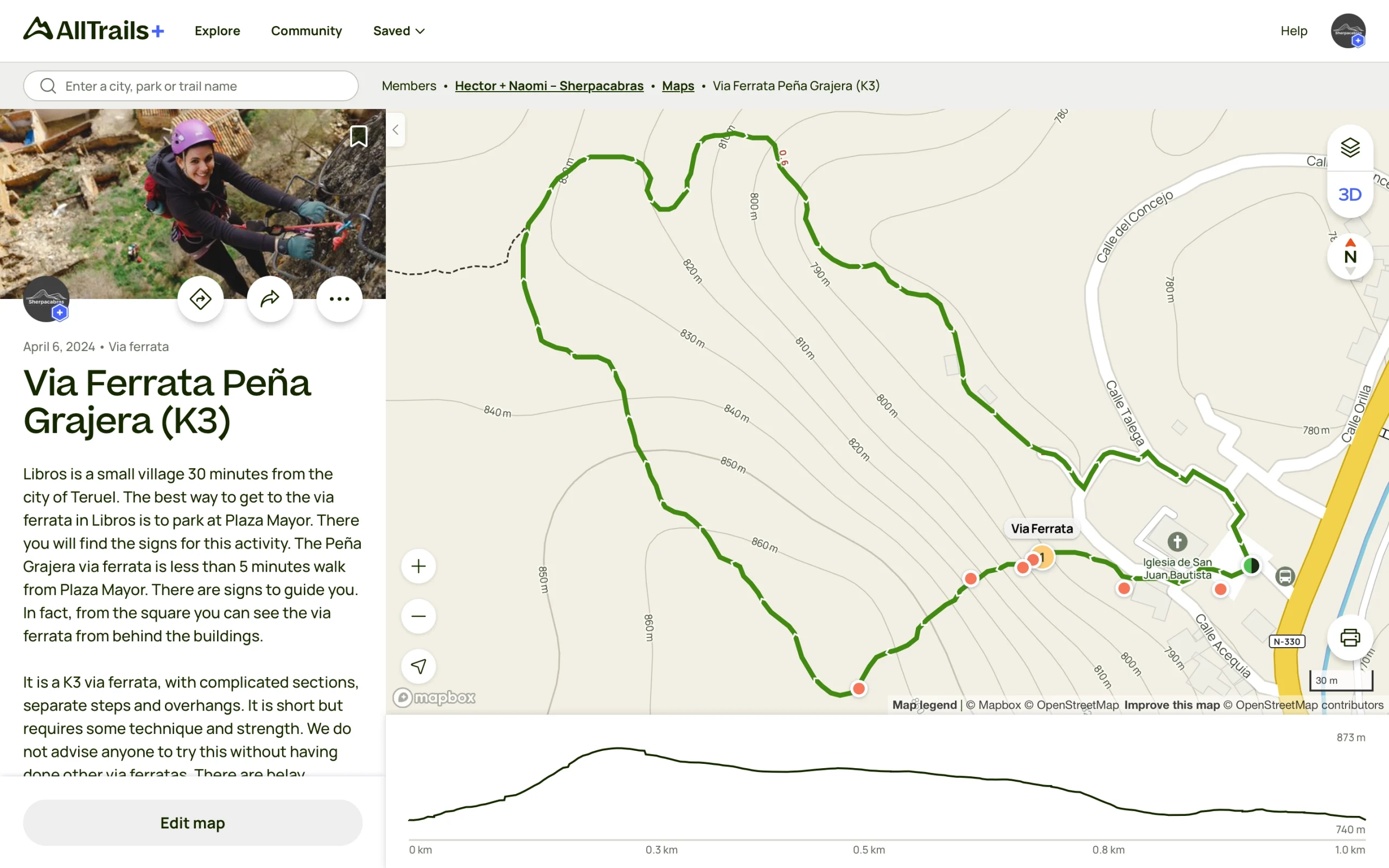
Wikiloc is also the app we use most to record and create step-by-step trail guides. Every time you record a waypoint, you have the option of taking a picture and attaching it to that waypoint on-site. Adding photos and better descriptions later is very easy and intuitive as long as everything has been recorded correctly, which leads us to our next point.
One drawback of this app is how complicated it can be to sort and reorganise your track info and waypoints on the back end. Although there have been some improvements over the years, combining and rearranging waypoint and track data is a chore and can be done much more smoothly in other apps.
This could be the reason that you may find many trails that are either incomplete or lack any photos or detailed descriptions. The app developers have gotten around this by implementing a ranking system that rewards more complete and well-documented trails by putting them higher up on the search results.
In the free version of Wikiloc, you will have access to basic functions of the app such as searching for and downloading all available trails within the app. However, you will only be able to navigate your own uploaded tracks and those of Wikiloc ORG users.
The premium version offers advanced filters that allow you to find tracks by sport (a surprisingly wide variety of them), distance, difficulty level and various other parameters. You will also be able to follow any user’s track that has been made public on the app as well as access to more detailed information.
At it’s current price point of 9,99€ for a yearly subscription, we definitely think so.
Keep in mind that this is the price it’s going for in Spain at the moment (2024), and prices may vary based on your geographical location. Make sure to check the price for your area using the button below. In any case, it is certainly not expensive for all of the features it offers and continues to develop.
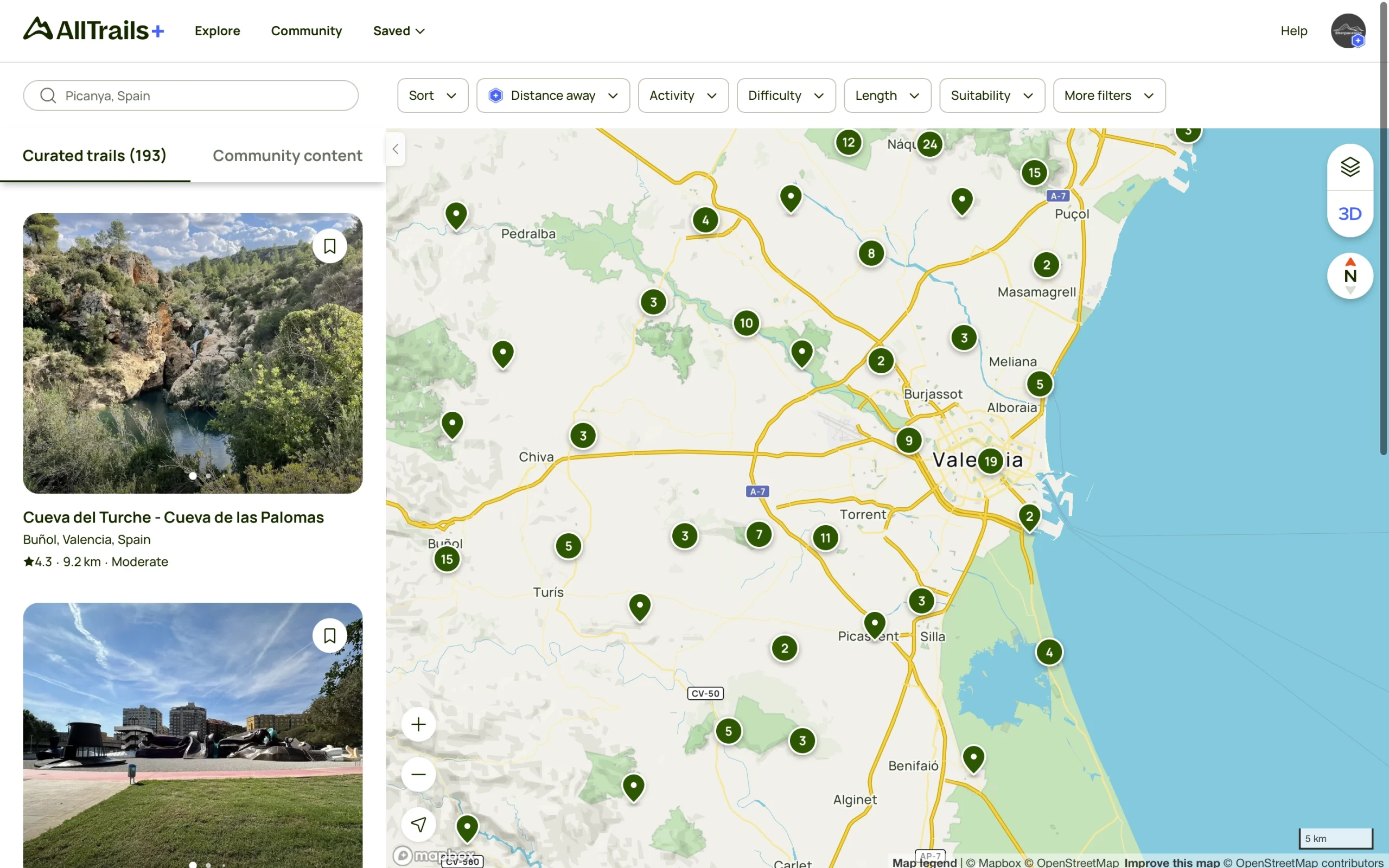
When you don’t feel like spending a lot of time researching, AllTrails steps up to task.
One of the greatest things about this app is what they call “curated trails”. All the trails you see on their front page will have all gone through a vetting process.
This means that their staff verifies to make sure it doesn’t trespass on private property, for instance, and they also assign a difficulty rating and estimated completion time. It just makes life a little bit easier.
To us, AllTrails is especially useful for travelling in foreign countries where you may not be entirely aware of local laws on what is considered private property and what isn’t. All the legwork has been done for you already. If you’re using the paid version, most of the curated trails have a 3D video preview that you can watch to get an idea of the what the trail looks like from above.
Another great thing is that the interface on this app is good and intuitive to use. There is a really neat feature we’ve recently discovered where if you attach photos that contain GPS metadata (like the ones taken with a smartphone) to your map, it automatically pins them on the map location where you took that photo.
One of the few downsides we’ve with encountered so far with AllTrails is that, although there is a tab where you can find user-generated maps, this feature isn’t nearly as intuitive as on other apps.
At just 19,99€ for a yearly subscription, we certainly believe so. The added functionality that is gained in the paid version makes for a very well-rounded and complete outdoor navigation app.
Although AllTrails’ presence isn’t as wide yet as in other parts of the world, such as North America, it’s steadily adding routes to its Spanish and European catalog. There are a lot of trail reviews to read, information to go through and it generally seems to attract great photos from its users. The app widget during navigation for both iOS and Android is also great and easy to use.
If researching and creating routes is your thing, then Gaia GPS and all of its advanced features might be for you.
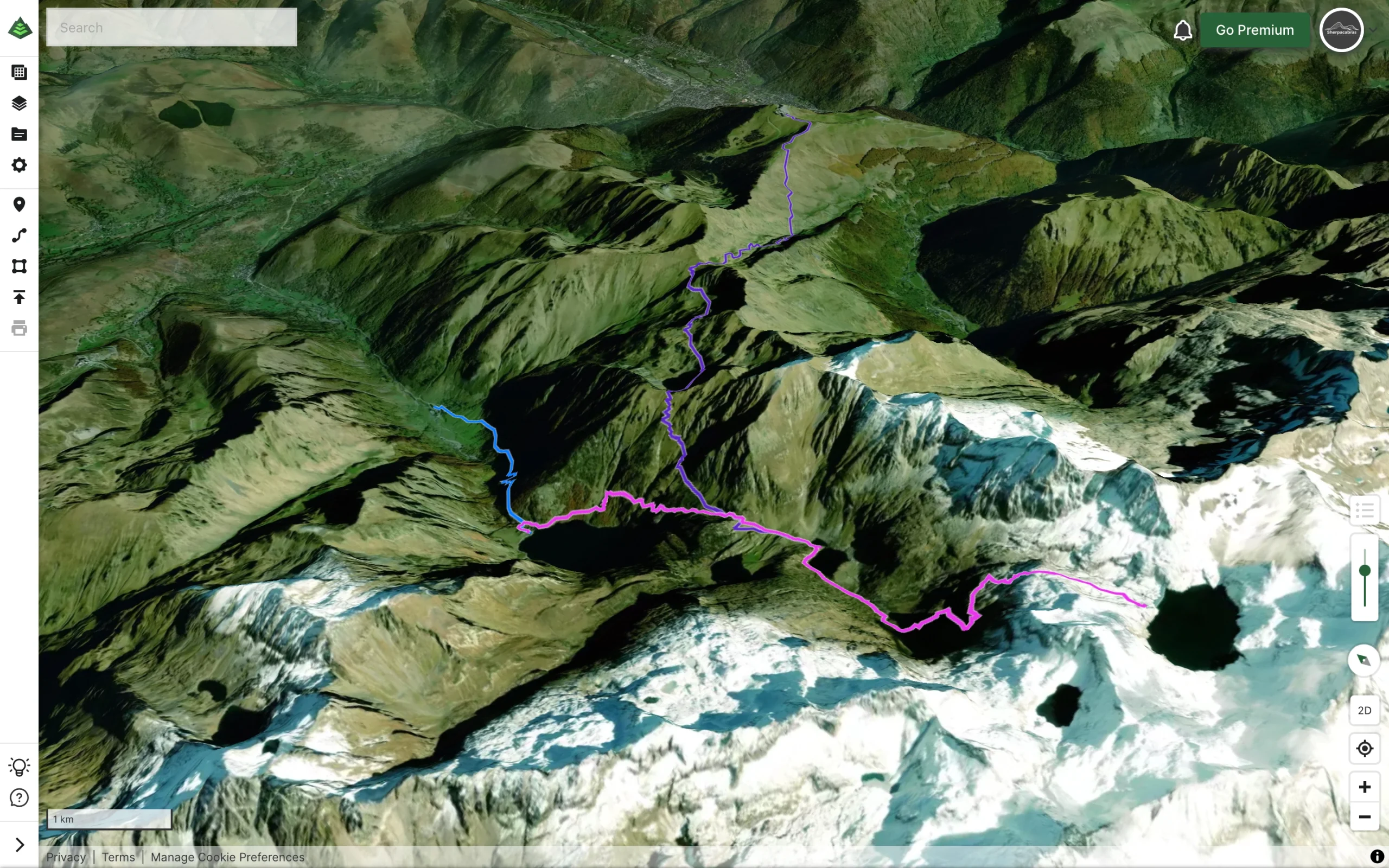
So far, this has been our favorite app for creating and visualizing trails and routes for a while now. It has the most detailed and in-depth maps that we’ve used so far.
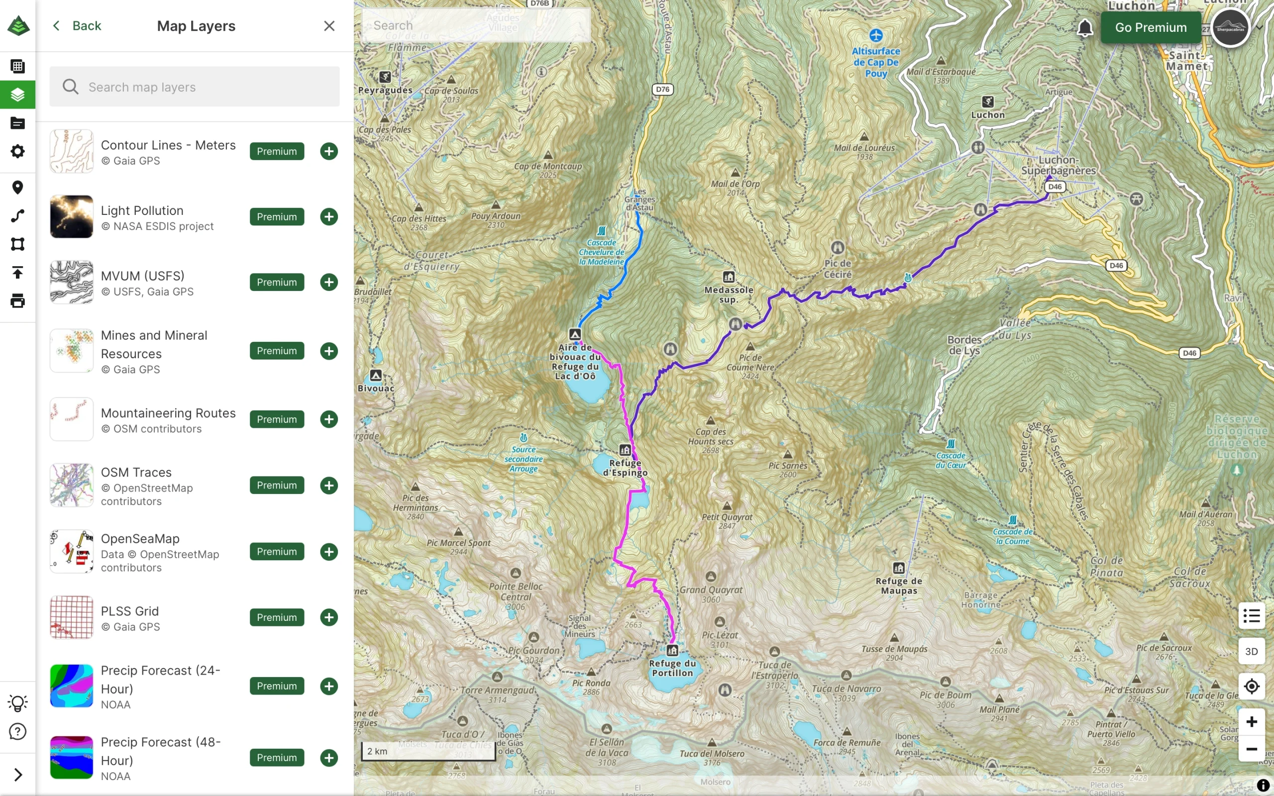
Honestly, this app has so many features and overlays that we don’t know how to use them all. Seemingly, this app has features for very specific niches and professional use cases.
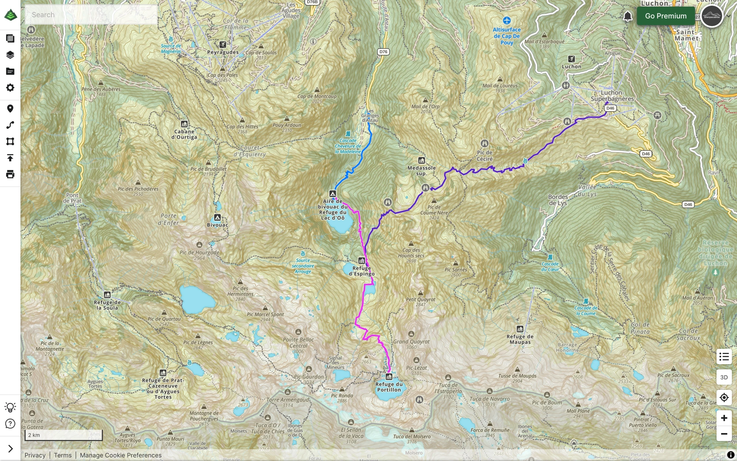
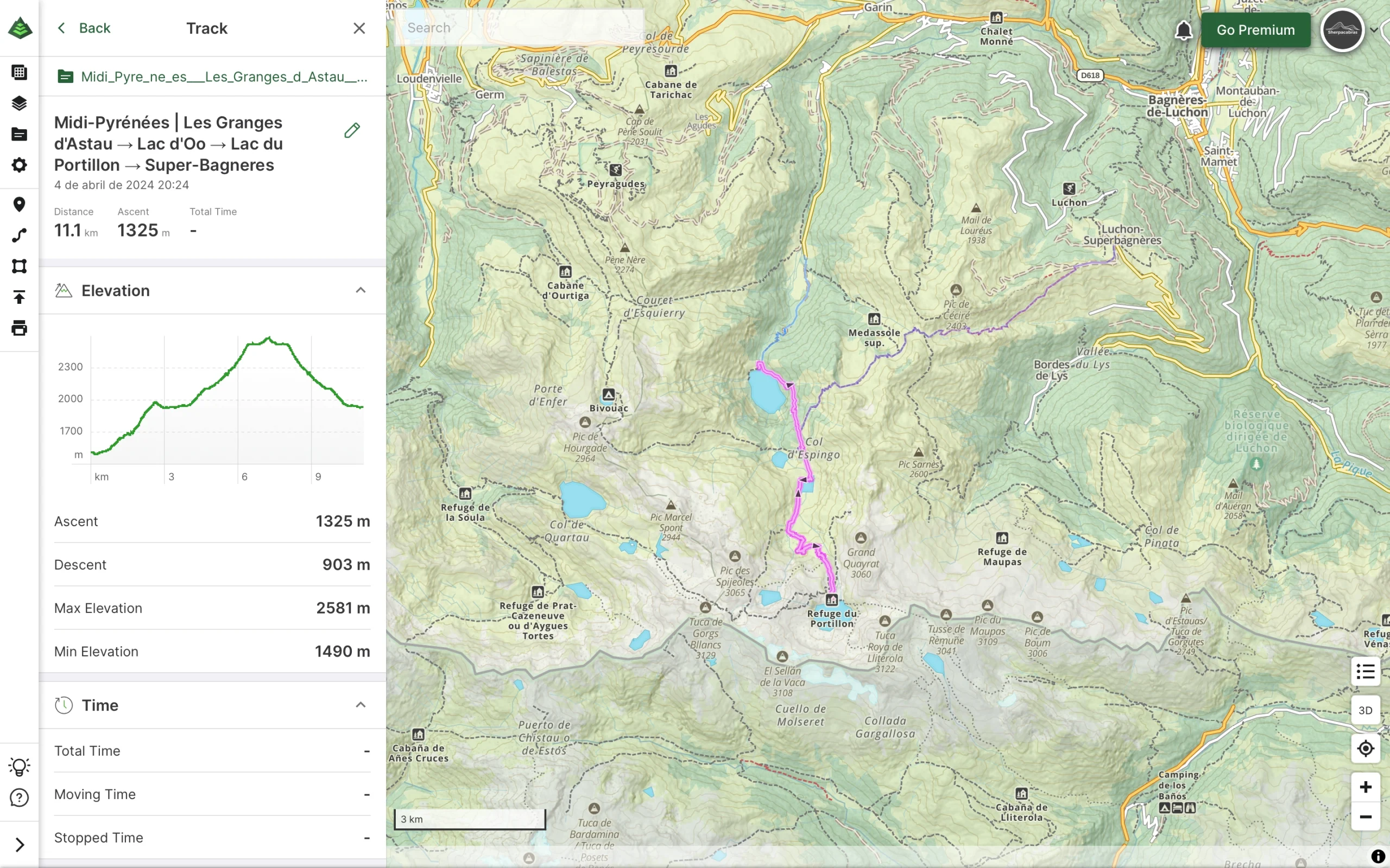
Taking a step back from all the various maps and overlays available, our favorite feature is definitely the route creation tools. These tools work great on both desktop and in the app and we’ve often used them to create routes on short notice.
The free version of this app also allows you to generate a printable map, and it is a great feature to have. You can choose various page formats and layouts and the best part is that it’s clutter-free. Just the map, which covers about 90% of the page area, a scale and a declination marker.
Despite us giving it praises for being feature-rich, it also comes with some downsides. Due to all the available features, it can be a bit overwhelming at times and there may be a learning curve to doing what you want to do with it. Also, user-generated content exists as a “public trails” option in the settings menu, so you do have access to this type of content, but it’s not as extensive or intuitive as others.
At the current price point of $59.90 for a yearly subscription, this is the only one of the three apps in this review that we haven’t purchased. It’s not that we don’t think the functionality wouldn’t be worth it, but rather that the price is too steep for us at the moment. Perhaps we’ll give it a shot in the future.
For now, the free version gives us everything we need to create routes and navigate with ease. Along with the functionalities of the other two apps mentioned, we have a pretty strong lineup.
These are just 3 of the many options out there and the ones that we are currently using the most. However, don’t limit yourself! In the app catalog of your smartphone you’re sure to find a great number of outdoor navigation apps dedicated to hiking and outdoor adventures.
Despite these amazing bits of tech at our disposal, we will always advocate for learning how to use a map and compass in a worst case scenario. AllTrails and GaiaGPS offer printable maps and its a great resource to have, just in case.
By choosing the right outdoor navigation apps and using them effectively, you can transform your outdoor adventures into unforgettable experiences.
Do you use a different app than the ones we outlined here? Let us know in the comments!
Privacy Policy | Terms & Conditions | Cookies Policy
Ⓒ Copyright 2023 Sherpacabras – All Rights Reserved