Filter by Categories
All Categories
Adventure
Destinations
Gear

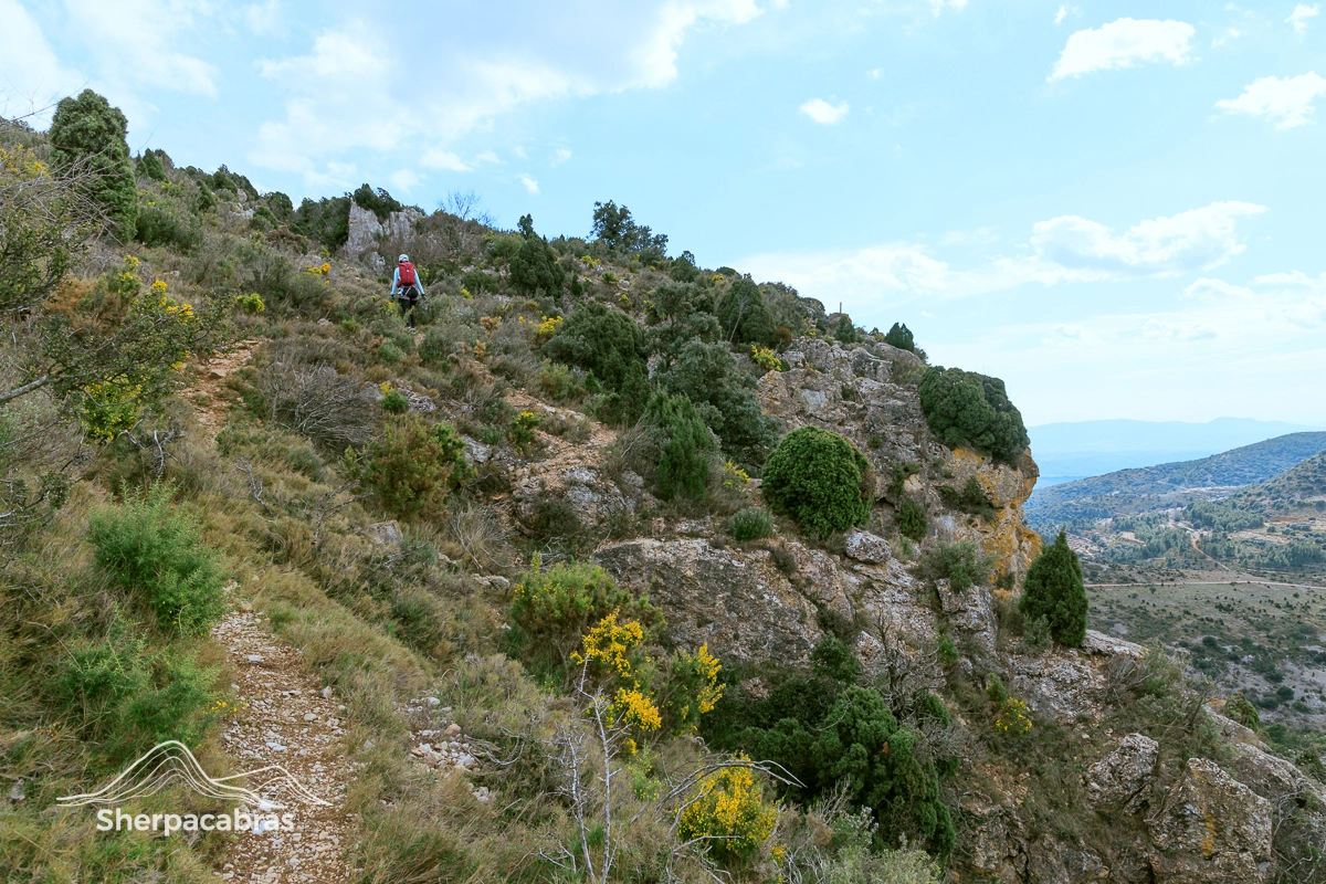
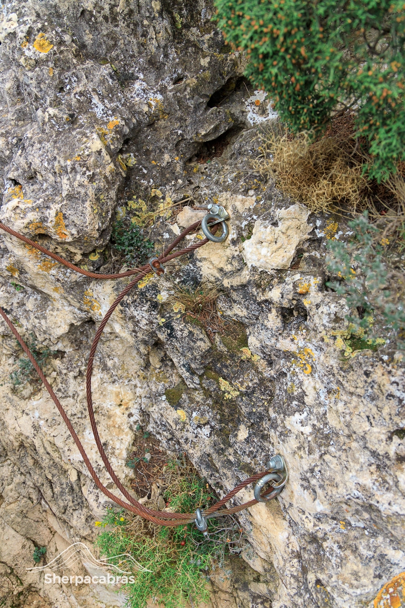
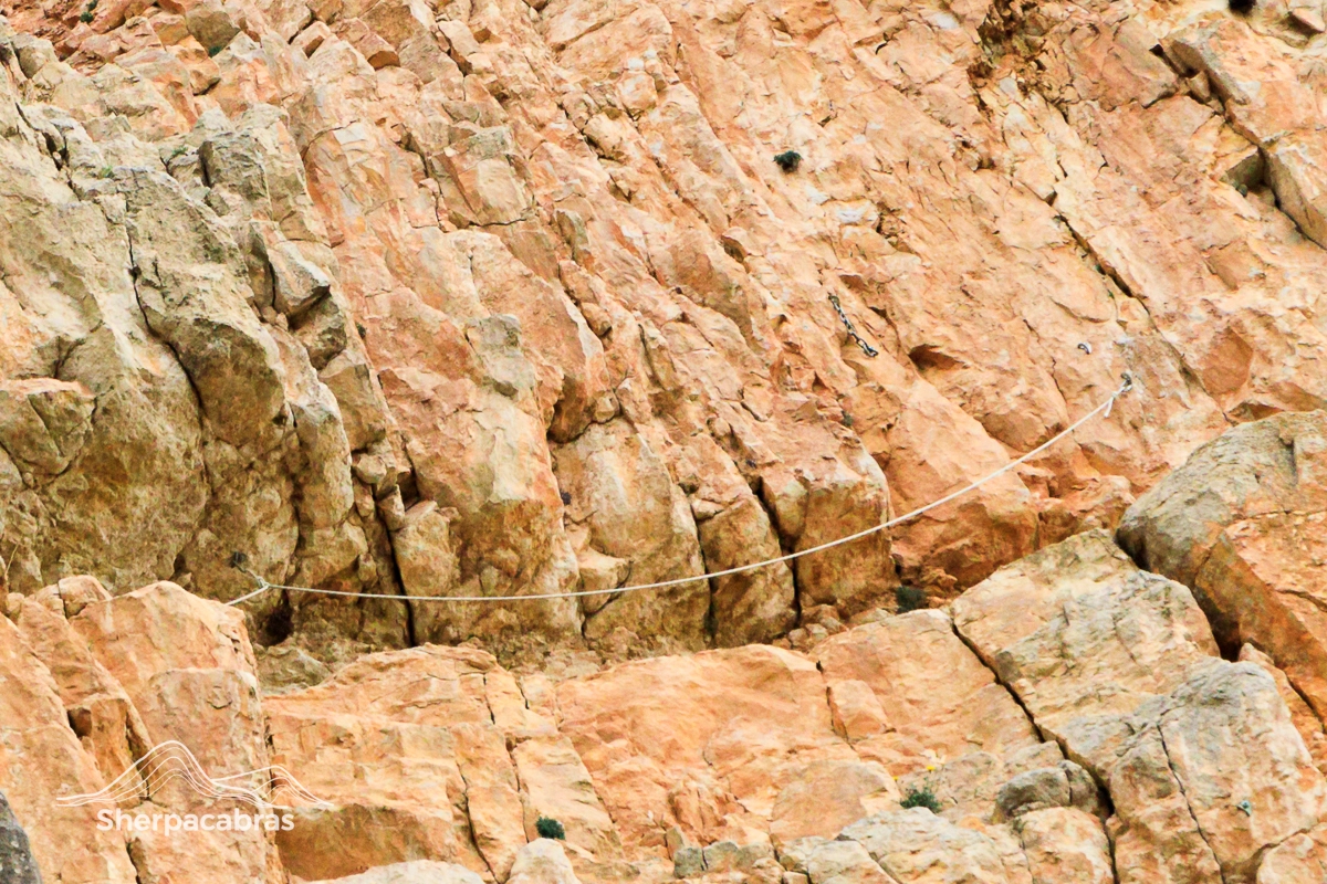
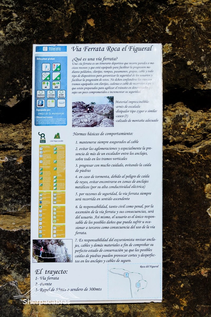
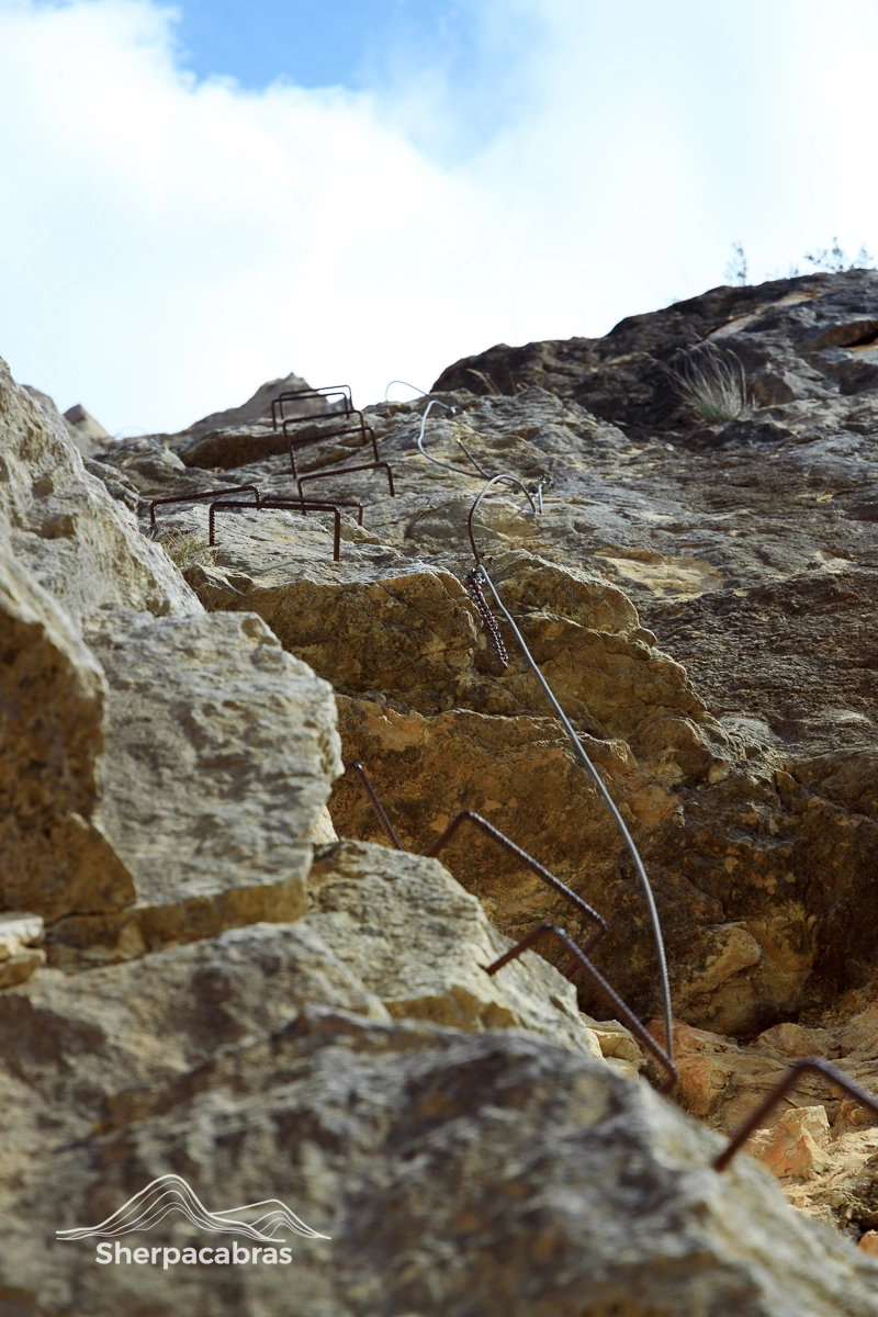
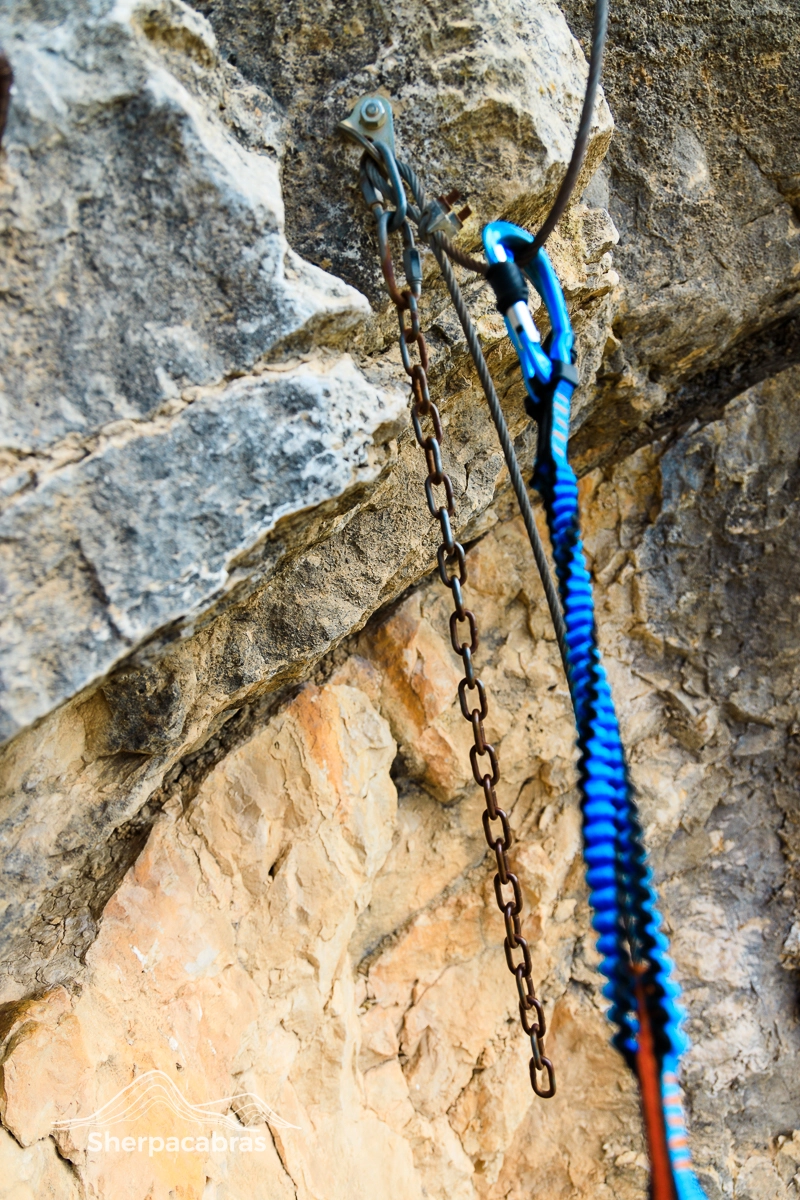
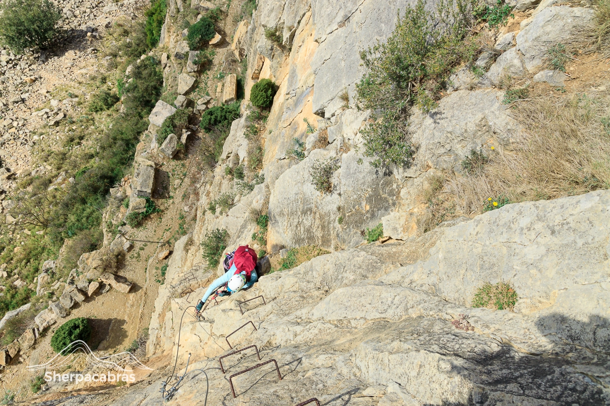
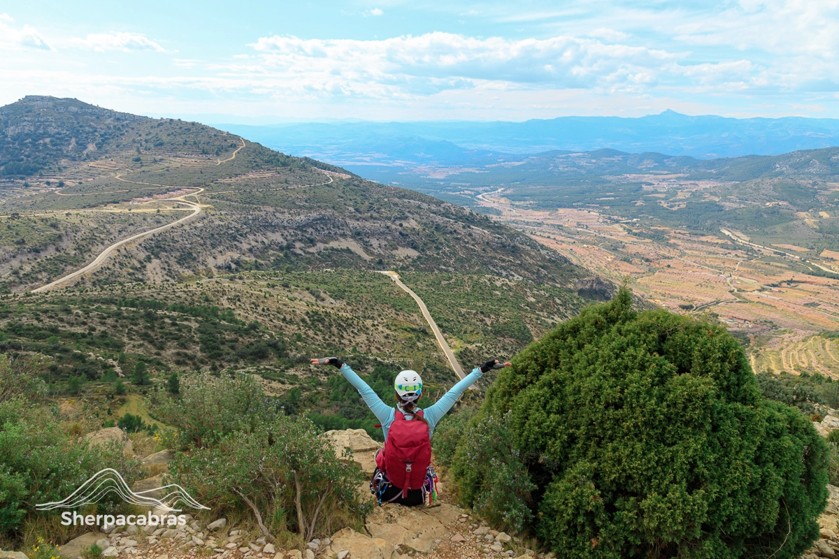
Via Ferrata Roca de Figueral

Sierra de Engarcerán

Table of Contents

K3

Click to learn more about the Hüsler Scale and via ferrata difficulty rating systems.

Rated Difficulty

Overall Difficulty
Moderate
Total Distance
0 km
Elevation Gain
0 m
Bridge
0
Zipline
0
Rappel
0

Quick Overview

Via ferrata Roca de Figueral is located in the Sierra de Engarcerán, a beautiful natural area with forests, fields, and rocky peaks. The equipped section starts at the base of the Roca de Figueral, a prominent rock formation that can be seen from the parking area.

During the route, you’ll go up a vertical wall with some overhangs that require some strength and skill. There are large gaps between some of the steps, so you will need to use the rock to climb as well.

A fairly recent addition to the route is the zipline near the start of the equipped section. It is 92 meters long and very fast, so you will feel like flying over the landscape.

In total, the equipped section of via ferrata is about 50 meters long and takes about an hour to complete.

Warning: Mountain sports are inherently dangerous and if you do something wrong, you can get seriously hurt or die! This post is only meant to be an informational guide, and by no means should it be considered professional advice. If you lack the skills or aren’t sure about what you’re doing, hire a professional guiding service to teach you hands-on. We provide links to trained professionals in the area wherever possible.

How To Get There

Files & Maps

Enhance your next outing with this compilation of free resources and downloadable files we’ve created. Check them out and see what might be useful for you.

Put this file into your GPS device, navigation app or smartwatch to follow our track.

click to download GPX file⬇︎

Scan or click on the QR Code to follow our trail in the Wikiloc App and give us a follow while you’re at it!

Link to via ferrata Roca de Figueral track in the Wikiloc app

Scan or click on the QR Code to follow our trail in the AllTrails App and give us a follow while you’re at it!

Link to via ferrata Roca de Figueral track in the AllTrails app

Download this PDF map of the area and print (A3 scale) or save it to your smartphone.

click to download PDF Map⬇︎

VF-Roca-Figueral-TopoMap

Trailhead

Arrival by Car

When you arrive, the road will transition from paved to unpaved. You can park in a clearing on the side of the road (there is plenty of space) or take the path and park in the esplanade where the route begins. This path is not in great condition and if you are driving, we don’t recommend taking it in vehicles that are very low.

The trail starts from that same parking lot.

Your feedback matters: Let us know if you have any suggestions for additional resources that would be helpful to you and others during future outings.

The Approach

At the parking area you will see some signposts and info panels that point the way. Once on the right path you just follow it all the way to the Roca Figueral. You can’t miss it.

First, you will come across the zipline. This first point is the end of the zipline. So, you will have to continue on until you see the start of the via ferrata and continue a bit further up where you will see some benches and an info panel.

Zipline

In 2013, a zipline was installed on the path that leads to the via ferrata. The zip line is entirely optional and is in good condition.

We have yet to try this zipline and the next time we’re in the area we’ll give it a go and update this post. However, here are some of the key features we know about it:

  • It is a total of 92 meters in length
  • Equipped with a dynamic braking system at the end 
  • It has been equipped with a rope and pulley system near the end to help you reach the end

Bridge

Once you are at the top of the via ferrata, take the path on the right and follow it until you reach a ravine where you will see the plank bridge. The bridge itself is short (about 7 meters) and easy but there are a couple things to be aware of:

  • You’ll have to climb down a short vertical section that is a bit exposed. The cable runs along the path you should descend but you should still be careful.
  • One or two of the planks are loose/broken and move a lot if you step on them. The main cables and anchors for the bridge are in good condition, though.

Rappel / Return Path

Once you’ve cleared the bridge you have two options:

  1. Follow the path to your left, following the ravine, until it eventually puts you back on the path we came in on.
  2. You can continue straight up on the path until you eventually reach an area where the safety cable has been installed onto the floor. 

If you choose to continue straight, this is where the official rappel/belay station has been set up. Officially, this rappel is said to be 55-meters long and appears to be mostly free-hanging.

It also seems to have what appears to be another rappel station about halfway down, although we have yet to confirm this. At the time, we had with us two 50-meter ropes and decided to play it safe and not rappel from this point.

UPDATE: We’ve confirmed that there is indeed a possibility to split the rappel in two sections of 30 meters each, using an intermediate anchor that is located on a ledge. According to our source, this option is not recommended because the intermediate anchor is not very visible and it is easy to miss it. They also warn that the second section of the rappel is quite exposed and has a lot of friction.

So, it seems that the answer is yes, you can split the rappel, but it is not advisable. It might be better to use a longer rope or skip the rappel altogether if you are not sure about it. Safety first, right?

Alternative Rappel Point

Instead, we set up our ropes just above the bridge where we found some anchors for top-rope belaying. About 10 meters below, found another set of bolted hangers with quicklinks to split the rappel. 

Prior to rappelling, we were able to see our ropes touch the ground and so we didn’t split at this new station. We estimate the rappel was about 30 meters from the top judging by the position of the halfway marks on the ropes. From here you will be able to see the path we came in on a bit further down.

Overall Thoughts and Opinions

Via ferrata Sierra de Engarceran was a lot of fun, with interesting challenges and a beautiful environment. The surrounding area has olive fields, a variety of flowers and a spectacular view of the great mount Penyagolosa from a distance.

This trail is rated a K3 Difficulty Level and, in our opinion, is suitable for participants with some prior climbing experience, as it requires a moderate level of physical fitness and basic climbing skills. Fortunately, there are ample ledges along the way to stop, catch your breath and take in the natural beauty of the region.

There is an overhanging section about halfway up the route. This may be the most “difficult” section of the installation as it requires a bit of skill and upper-body strength and might be a bit intimidating for less confident climbers. However, we didn’t feel like it was terribly difficult and once this section is cleared, a short climb up and the via ferrata is finished.

Pros
  • Easy access to the trailhead and parking areas 
  • It didn’t feel overly difficult for a K3 level
  • There was a nice variety of obstacles
  • Beautiful surroundings and vistas throughout 
Cons
  • The equipment is a bit older and may need some maintenance soon:
    • The plank bridge has a couple of loose boards
    • Some of the signposts have fallen over or broken
  • At the top, there are some exposed areas that are a bit difficult to see so you have to watch your step

Photo Gallery

So, tell us! Have you done via ferrata Roca de Figueral and what was your experience doing it? We look forward to reading your comments below.

Leave a Reply

Your email address will not be published. Required fields are marked *

en_USEN